My plans for today did not work out: at 9:30 am, I found myself in Northampton, asking 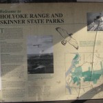 myself, What can I do on this beautiful late autumn day? I drove to my office in Amherst, logged in to the DCR site, and printed out a map of the Mt Holyoke Range State Park.
By 10:15, I was parked at the Notch Visitors Center on Route 116. There are over 30 miles of hiking trails in this park, but I didn’t have all day, so I picked one of the Holyoke Range peaks almost at random — Mount Norwottuck — and headed to the summit.
On my way up, I hiked the white-blazed Metacomet-Monadnock Trail, a 114-mile trail that extends from the Massachusetts-Connecticut border to Mt Monadnock in southern New Hampshire. From the 1106-foot peak, I descended to the Horse Caves and then continued east to where the Swamp Trail and the Robert Frost Trail intersect with the M&M. Here I turned west and hiked the Robert Frost back to the Notch. There were a number of hikers out and about today, singles, couples, and families, all enjoying the park.
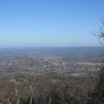
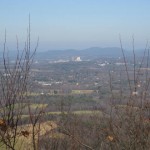
Here are two photos I took from the Scenic Vista at the summit. You can see UMass campus, including the building where I work, in the thumbnail on the right:
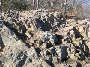
The ridge that forms the spine of the M&M Trail was formed 200 million years ago during the late Triassic and early Jurassic periods, a product of several massive lava flows that welled up in faults created by the rifting apart of North America from Eurasia and Africa. Like the rocks in Hawaii where I grew up, the summit of Norwottuck is basalt, a dark-colored, extrusive volcanic rock:
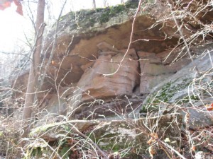
I think these are the Horse Caves, a series of sedimentary rock overhangs located beneath the summit of Norwottuck. Legend has it that they were used as a bivouac by rebels during Shay’s Rebellion:
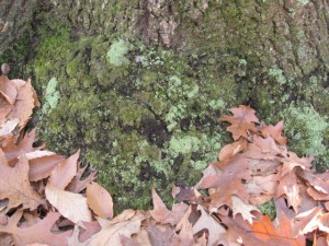
I don’t know what these are specifically, but I liked the look of the lichens, moss, and the fallen leaves:
According to Wikipedia, this peak was originally called Hilliard Knob; Amherst College geology professor Edward Hitchcock applied the Native American name Norwottuck to the mountain. The Metacomet Ridge was named after Metacom, the 17th century sachem of the Wampanoag Tribe of southern New England who led his people during King Philip’s War, the bloody mid-17th century confrontation between English colonists and Native American tribes.
Did you read “Mayflower” by Nathaniel Philbrick? I have a feeling you did…anyway, I liked it a lot, and it’s fantastic that you were actually *in* the setting for the action (King Philip’s War) that the book described so well.
Amelia: We read /Mayflower/ for our January 2008 meeting; click on the “Reading Group” page of this blog and you’ll see it listed. Although Deerfield, Hadley, Northfield, and Springfield were all sites of battles in King Philip’s War, I don’t think the M&M trail was named to commemorate these events. Rather, I think the name was intended simply to honor Metacomet as an outstanding Native American leader.