The Wetland Assessment Program (WAP) at UMass Amherst is an ongoing research program, the main goal of which is to study wetland ecosystems and to develop better tools for monitoring and conservation of these areas. (http://www.umasscaps.org/applications/wetlands-assessment.html) Headed by Dr. Scott Jackson and Dr. Kevin McGarigal for the past decade, WAP is part of the larger Conservation Assessment and Prioritization System (CAPS). The main strategy of the program is to find and measure relationships between Landsat data – which includes land use data, elevation, slope, etc. – and both Indices of Biological Integrity (IBIs) and Indices of Ecological Integrity (IEI’s). The specific sampling and observation methods vary depending on the type of wetland system under consideration. The program has had significant success in finding meaningful and useful patterns for most wetland systems, however success with salt marsh studies has been elusive. Continue reading “Measuring Ground-Control Points for Salt Marsh Studies”
Students in BCT’s 3D CAD & BIM course participate in library project on maker competencies
As part of this spring’s BCT 420 and ECO 620 courses (both taught by Alex Schreyer, BCT Program Director), students will explore making and digital fabrication, which will inform a curriculum pilot study by the University of Texas on this topic. The UMass library has been chosen as one of several collaborators nationwide and will guide the local implementation of this study. Continue reading “Students in BCT’s 3D CAD & BIM course participate in library project on maker competencies”
Trimble tech training, round two
We enjoyed a second round of training in Trimble’s GNSS R10 receivers, Trimble Business Center, and some of our other tech. This all happened over UMass’ Thanksgiving break holiday and was led by Waypoint Technology’s Harry Schultz. Below are some of the images… Continue reading “Trimble tech training, round two”
Researching the Connecticut River Flooding
Dr. Christine Hatch, Geosciences, used the lab’s laser scanner for river-bed monitoring in this project, which was features on the WGBY show Connecting Point:
Western New Englanders know the importance of rivers. Parks run alongside them, bridges cross them, farms flourish in the rich soil near their banks. But when rivers flood—as they did during Hurricane Irene in 2011—they don’t just destroy parcels of land; they change the face of commerce and culture in affected communities for years to come. A group of researchers from UMASS Amherst has been spending time collecting data and researching the Connecticut River flooding so that they can better understand how rivers reclaim themselves after a catastrophic event. Producer Dave Fraser tagged along on a recent research endeavor to learn more.
Continue reading “Researching the Connecticut River Flooding”
Trimble tech training, round one
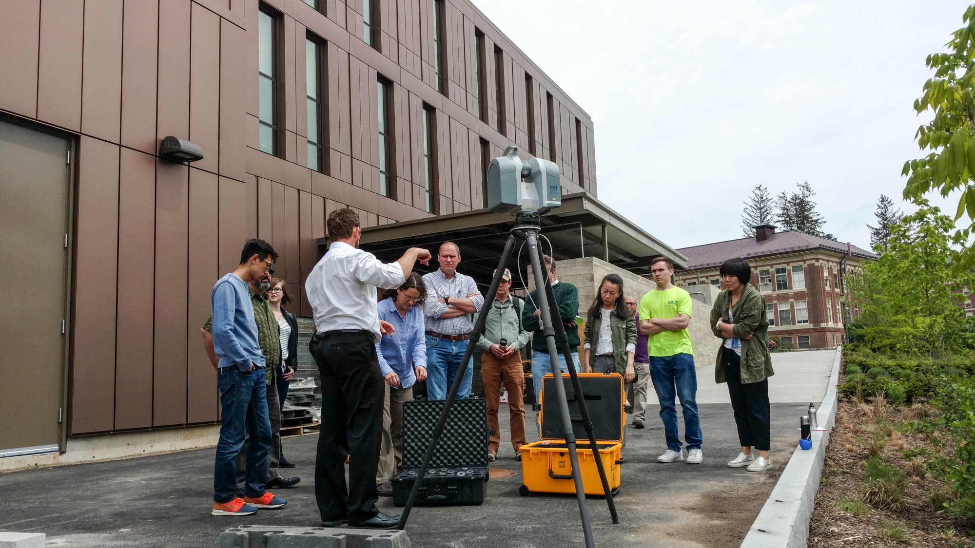
Our first round of Trimble tech training mainly covered the TX 8 and Realworks. Led by Trimble’s Ian Warner, faculty and students learned how to 3D scan buildings and environments. See below for images… Continue reading “Trimble tech training, round one”


