This post summarizes four recent salt marsh-focused projects, where our students and researchers used Trimble equipment.


Trimble Technology Lab @ UMass
Blog and Lab Resources
UMass Earth, Geographic, and Climate Sciences
This post summarizes four recent salt marsh-focused projects, where our students and researchers used Trimble equipment.

By Pedro I. Matos Llavona
It is well known that sea level is rising and will cause significant shoreline adjustments around the globe. This makes the art of measuring sea level a critical skill for coastal scientists. For precise and accurate measurements, not only it is necessary to understand the functionality of the instruments we use, but also the reference frame to which all our measurements are fixed to, better known as datums. Fortunately, high end technology such as Global Navigation Satellite Systems (GNSS) can help us measure elevation up to 2 cm precision. This high level of precision requires complex processes. Thankfully, there is instrumentation capable of reaching high precision within a short period of time – the Trimble® R10 GNSS system.

Continue reading “Surveying Instrumentation in Mangrove Forests in Puerto Rico”

We enjoyed a second round of training in Trimble’s GNSS R10 receivers, Trimble Business Center, and some of our other tech. This all happened over UMass’ Thanksgiving break holiday and was led by Waypoint Technology’s Harry Schultz. Below are some of the images… Continue reading “Trimble tech training, round two”

Dr. Christine Hatch, Geosciences, used the lab’s laser scanner for river-bed monitoring in this project, which was features on the WGBY show Connecting Point:
Western New Englanders know the importance of rivers. Parks run alongside them, bridges cross them, farms flourish in the rich soil near their banks. But when rivers flood—as they did during Hurricane Irene in 2011—they don’t just destroy parcels of land; they change the face of commerce and culture in affected communities for years to come. A group of researchers from UMASS Amherst has been spending time collecting data and researching the Connecticut River flooding so that they can better understand how rivers reclaim themselves after a catastrophic event. Producer Dave Fraser tagged along on a recent research endeavor to learn more.
Continue reading “Researching the Connecticut River Flooding”
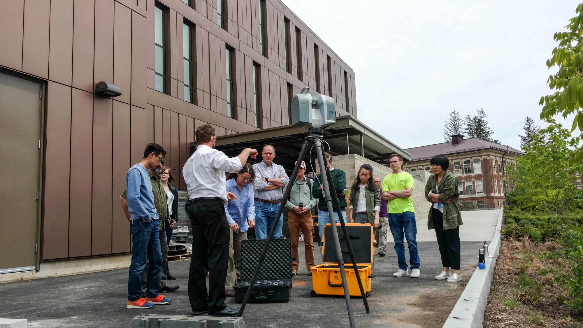
Our first round of Trimble tech training mainly covered the TX 8 and Realworks. Led by Trimble’s Ian Warner, faculty and students learned how to 3D scan buildings and environments. See below for images… Continue reading “Trimble tech training, round one”