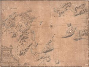
As digital technology advanced towards establishing high resolution images of the cities a new generation of digital maps encouraged the creation of a multidisciplinary academic field known as spatial humanities. In this field historians, geographers, web designers, programmers gathered into one research using a Geographic Information Systems (GIS), a software that displays and analyzes information related to a physical location to re-examine real and fictional places (Cohen, 2011). Today’s thoughts are coming towards an analysis of an online history project that makes use of digital mapping. The project analyzed here is imagineRio: Illustrated Diachronic Atlas of Rio de Janeiro’s Urban and Social Evolution.
