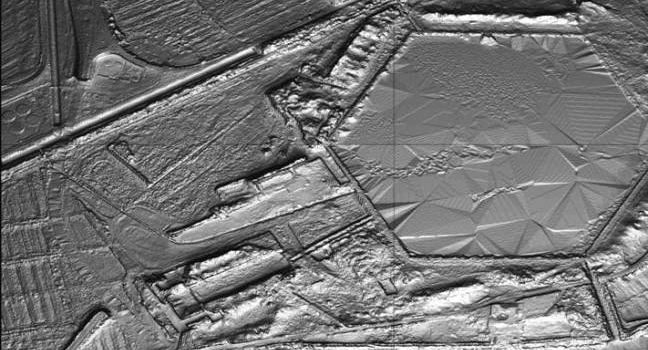
LiDAR (or LIDAR) – light detection and ranging – is a method to generate very precise topographical measurements about a particular piece of land. Achieving up to 2″ (5.08 cm) differences in topography, LiDAR is an exceptionally useful tool for
Methodologies – LiDAR Imaging

