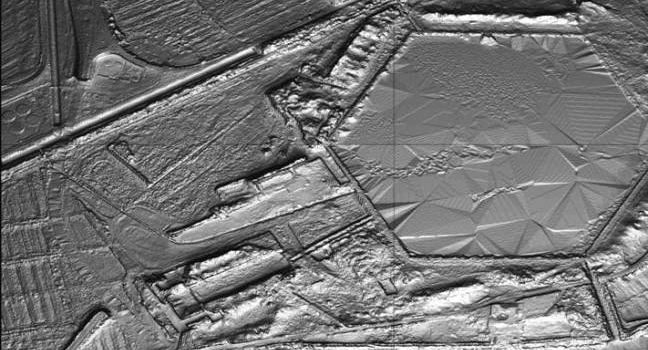
LiDAR (or LIDAR) – light detection and ranging – is a method to generate very precise topographical measurements about a particular piece of land. Achieving up to 2″ (5.08 cm) differences in topography, LiDAR is an exceptionally useful tool for
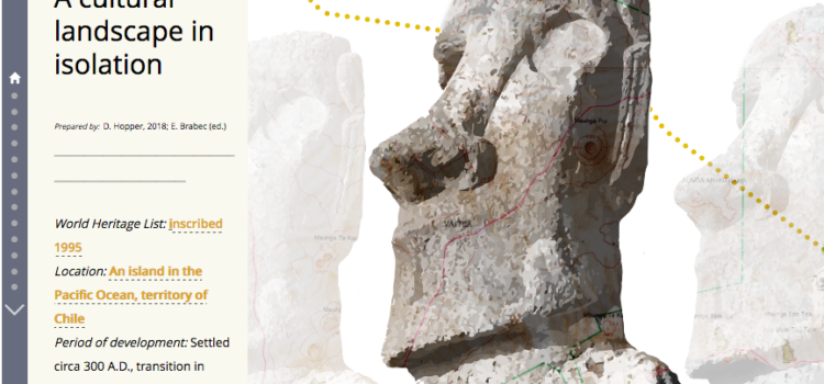
Rapa Nui: Cultural Landscape in Isolation
World Heritage List: inscribed 1995 Location: An island in the Pacific Ocean, territory of Chile Period of development: Settled circa 300 A.D., transition in culture during the 16th century; depopulation 19th century (more recent scholarship since inscrition dates colonization to
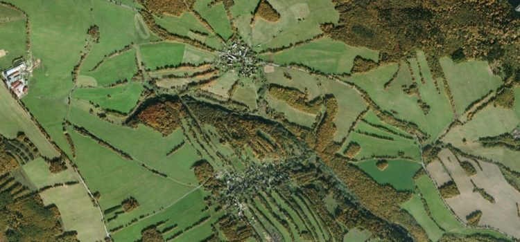
Dating Vernacular Landscapes: A Methodological Exploration
Review of the research by Elizabeth Gunther, University of Massachusetts Original article: Houfková, Petra, et al. 2015. Origins and development of long-strip field patterns: A case study of an abandoned medieval village in the Czech Republic. Catena 135: 83 –
“Back to the Soil:” Community Engagement in Heritage, Eleuthera, Bahamas
A review of an ongoing project of the Center for Heritage and Society, by Elizabeth Brabec, Director of the Center. The tourist’s image of the Caribbean islands is of white sand beaches, shady palm trees and stately colonial architecture. But