Online Resources for Historic Maps


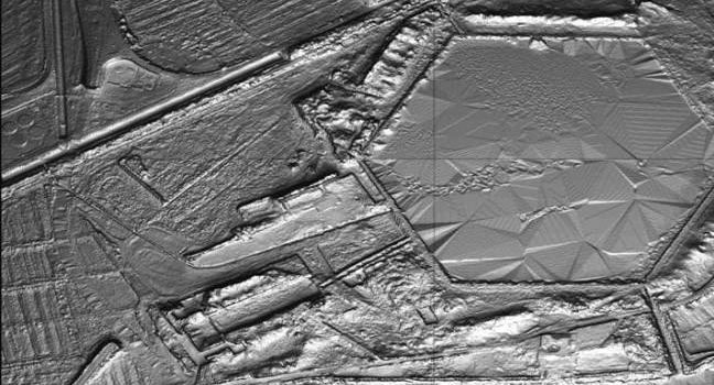
LiDAR (or LIDAR) – light detection and ranging – is a method to generate very precise topographical measurements about a particular piece of land. Achieving up to 2″ (5.08 cm) differences in topography, LiDAR is an exceptionally useful tool for

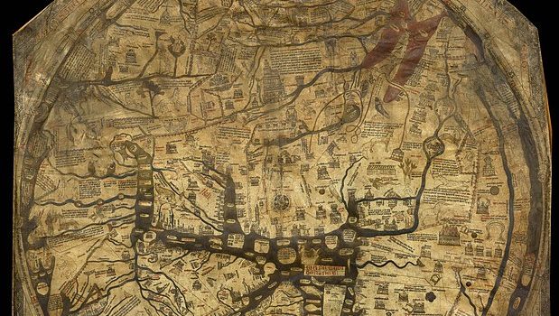
A recent BBC video explores the significance of the Mappa Mundi at Hereford Cathedral, United Kingdom … The Mappa Mundi at Hereford was created about 1300CE – 700 years ago – as a reflection of the Europeans understanding of the