Online Resources for Historic Maps


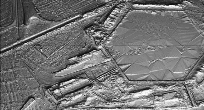
LiDAR (or LIDAR) – light detection and ranging – is a method to generate very precise topographical measurements about a particular piece of land. Achieving up to 2″ (5.08 cm) differences in topography, LiDAR is an exceptionally useful tool for

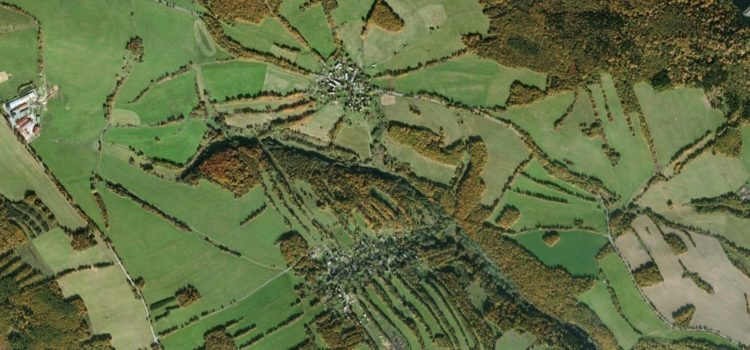
Review of the research by Elizabeth Gunther, University of Massachusetts Original article: Houfková, Petra, et al. 2015. Origins and development of long-strip field patterns: A case study of an abandoned medieval village in the Czech Republic. Catena 135: 83 –